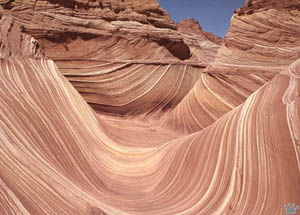
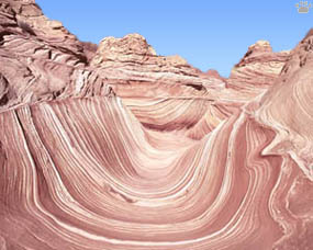
The Wave rock formation, Paria river basin, Utah.
Part 3. The Grand Staircase
| The heart of the Canyon Country is the area north
of Lake Powell, mostly in Southern Utah, known as Grand Staircase due to its rows
of long, tall cliffs, all of different color. It is one of the most scenic parts
of North America, but most of it had no formal protection until President Clinton
created Grand Staircase-Escalante and Vermilion Cliffs National Monuments despite
rabid opposition from Republican-controlled Senate. |
 |
 |
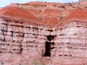
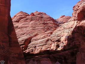
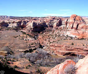
| Rock formations, Grand Staircase-Escalante
National Monument, Utah. |
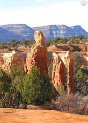
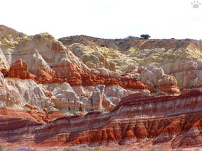
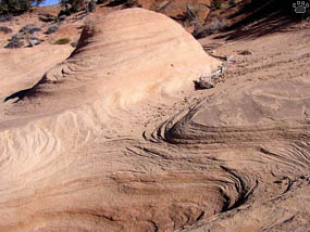
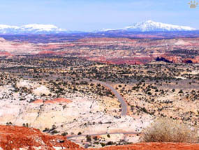
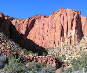
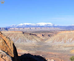
Paria River Basin, Grand Staircase-Escalante NM, Utah. |
Paria and Escalante, both tributaries of Colorado,
are the two main rivers of the area. Each has a canyon so rich in unique formations,
it takes more than a week to explore. |
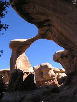
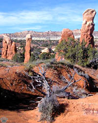
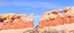
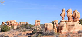
Devil's Garden, Grand Staircase-Escalante NM, Utah. |
 |
 |
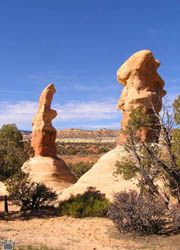
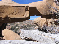
| The Tepees, Coyote Gulch, Vermilion
Cliffs National Monument, Utah. |
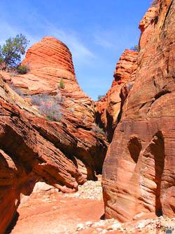
The Tepees, Coyote Gulch, Vermilion Cliffs NM. |
This area is still little visited, except in
summer. Spring and fall are the best times for hiking. The world's best slot canyons
are also located here (see below). |
The Tepees, Coyote Gulch, Vermilion Cliffs NM. |
 |
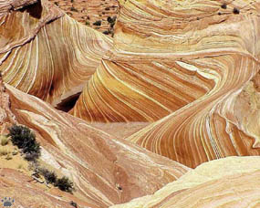 |
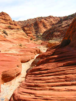
| The Wave, Coyote Gulch, Vermilion
Cliffs National Monument, Utah. |
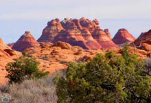
The Tepees, Coyote Gulch, Vermilion Cliffs NM. |
A rock called The Wave is considered by many
to be the most beautiful rock formation in the world. It takes a few hours to
hike to. Many others are more accessible. |
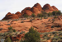
The Tepees, Coyote Gulch, Vermilion Cliffs NM. |
 |
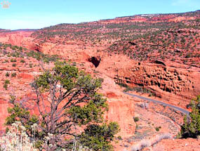 |
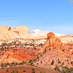
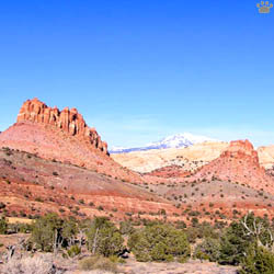
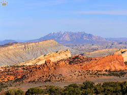
| Burr Trail, Grand Staircase-Escalante
National Monument, Utah. |
Rock formations along Burr Trail, GSENM. |
If you don't like hiking, try two wonderful desert
drives: Burr Trail and Hole-in-the-Wall Road. Both can be a bit adventurous after
rains. It's not unusual to drive their entire length and not see any cars or people.
The most scenic parts are usually the ones crossing the areas of bright-red Navajo
sandstone, with smooth vertical cliffs and rectangular pillars. |
Rock formations along Burr Trail, GSENM. |
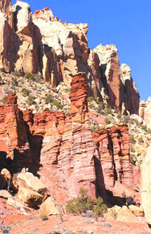
Navajo sandstone formations, Burr Trail, GSENM. |
Coconino limestone formations, Burr Road, GSENM. |
Rock formations along Burr Trail. |
Each cliff in the Grand Staircase is made up
of its own type of rock, with unique colors (from white to black) and shapes. |
Rock formations along Burr Trail. |
 |
 |
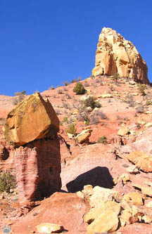
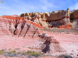
| Devil's Garden, GSENM. |
Devil's Garden, Grand Staircase-Escalante. |
The best rock formations along Hole-in- the-Rock
Rd. are in the Devil's Garden area. |
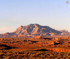
Part of the Grand Staircase. |
Waterpocket Fold. |
Burr Trail leads to Waterpocket Fold, the remote
southern part of Capitol Reef National Park, and then to Lake Powell. |
Sleek Hills near Burr Trail. |
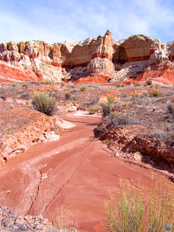
Rock formations, Paria river basin, Utah.
Part 4. Lake Powell
Back to Part 2
Home
|