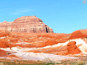
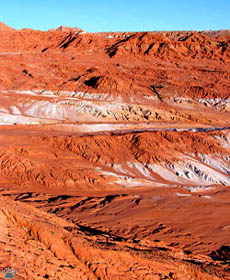
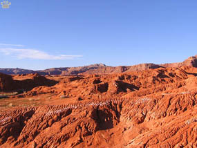
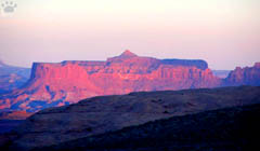
Multicolored clay deposits near Lake Powell, Utah.
Part 4. Lake Powell
| Glen Canyon used to be a beautiful and pristine
part of the Canyon Country. Then a hydroelectric dam was constructed, flooding
the canyon and disrupting the natural flow of the river in Grand Canyon further
downstream. |
 |
 |
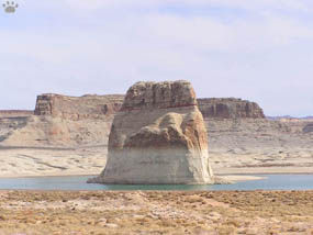
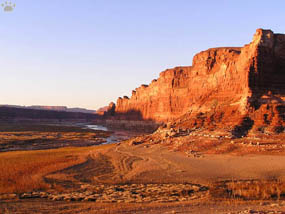
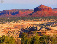
| Former shores of Lake Powell near
Bullfrog Canyon, Utah. |
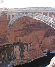
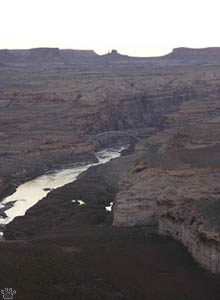
Navajo Bridge near Glen Canyon Dam, Arizona. |
The lake shores are now protected as Glen Canyon
National Recreation Area, but there isn't much to protect, except some rock formations.
All petroglyphs, ancient villages, riparian forests, and wildlife- supporting
areas are under water. |
Former Lake Powell shores near Bullfrog Canyon. |
 |
 |
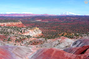
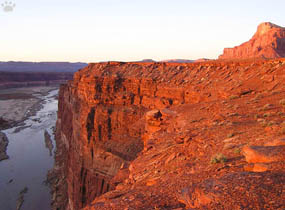
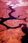
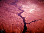
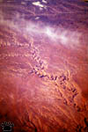
| Red clay washes south from Waterpocket
Fold, Utah. |
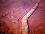
Dirty Devil River. |
Fortunately, the most beautiful area around the
confluence of Colorado and Dirty Devil Rivers is not flooded anymore. A few years
ago it re-emerged from the water, as the upper end of the lake has receded at
least ten miles. Thanks to prolonged drought in the Southwest, the lake level
is rapidly dropping. |
Dirty Devil River. |
 |
 |
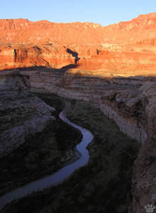
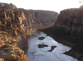
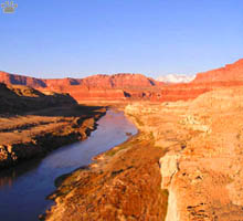
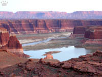
| Colorado River flowing through
Cataract (left) and Glen (right) Canyons, Glen Canyon National Recreation Area,
Utah. |
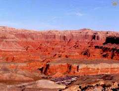
Former bottom of Lake Powell. |
It's nice to see rivers flowing in their canyons
again, and riparian forests beginning to re-appear on their shores. I hope the
lake will eventually dry out, and the hydroelectric dam which created it will
be dismantled. |
Former bottom of Lake Powell. |
 |
 |
| Former shores of Lake Powell near
Bullfrog Canyon, Utah. |
Bullfrog Canyon near Lake Powell. |
The dam doesn't produce much electricity anymore,
but thousands of people use the lake for killing time-style boating. |
Cataract Canyon near Lake Powell. |
 |
 |
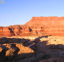
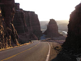
| Roads near Lake Powell. |
Bullfrog Canyon near Lake Powell. |
So far, some of the most interesting places around
the lake are accessible by long boat rides only. |
Cataract Canyon near Lake Powell. |
 |
 |
 |
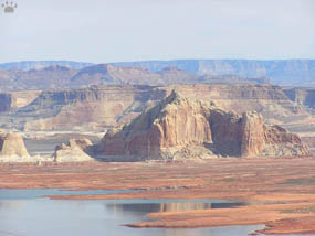
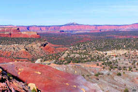
| Aerial views of Colorado Plateau,
left to right: Lake Powell, Waterpocket Fold, Lake Mead, Canyonlands National Park. |
|
 |
Upper end of Lake Powell, March 2005. |
One such place is Rainbow Arch, the largest natural
arch in the world. It is 50 miles by boat or by a very bad trail from a nearest
road. Renting a horse is the cheapest way to see it. |
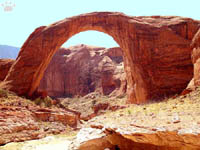
Rainbow Arch, Arizona. |
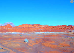
Sagebrush re-colonizing former Lake Powell shores, Utah.
Part 5. Slot Canyons
Back to Part 3
Home
|
|