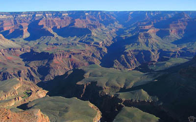
The Grand Canyon, Arizona, from the South Rim.
Part 6. Grand Canyon
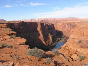
| Downstream from Glen Canyon Dam, the Colorado
River flows through a series of bends into Marble Canyon, and then into the Grand
Canyon, the most famous of all. |
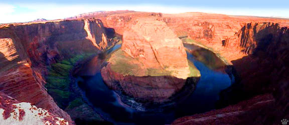
Colorado River Bend, Arizona (composition of 24 images). |
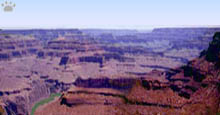
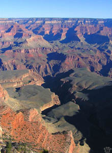
Grand Canyon, Arizona. |
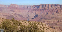
Here it is joined by Little Colorado River, which flows from
a deep, very rocky gorge cut into a flat plateau. |
Vermilion Cliffs, Arizona. |
 |
 |
| Little Colorado River Gorge, Arizona. |
Marble Canyon,
Arizona. |
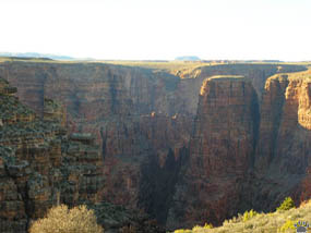
Both North and South Rims of the Grand Canyon
can be accessed by car; they are less than ten miles apart, but it's 217 miles
by car. The North Rim is 300-400 m higher, and the road is usually closed in winter.
It is less crowded and has beautiful forests, but, in my opinion, the South Rim
has better views. The best way to avoid the crowds is to visit it in winter. The
canyon is up to 1,400 m deep. It crosses an uplifted area called Kaibab Plateau;
why did the river cut across the plateau instead of going around it is still a
mystery. |
Forests of North Rim,
Arizona. |
 |
 |
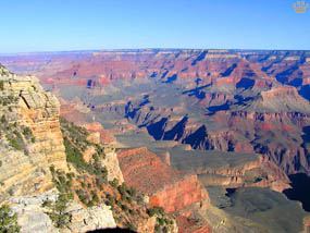
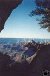
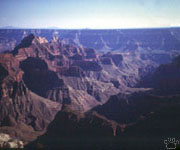
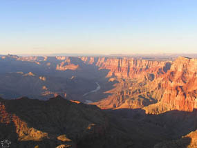
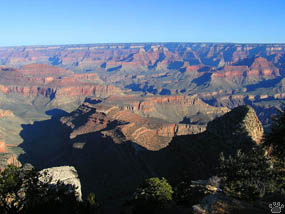
| Views of the Grand Canyon from South
Rim. |
 |
The Canyon cuts through twelve
major types of rocks. The oldest ones at the bottom are almost two billion years
old. It took the river only 3-5 million years to cut the gorge. Some animals,
such as Abert's squirrel (see below) are now represented by different subspecies
on the two sides of the canyon. The Canyon is surrounded by many less-known places
of interest, such as Valley of Fire and Vermilion Cliffs, where reintroduced California
condors breed. |
 |
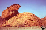
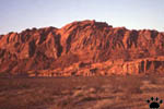
Valley of Fire, Nevada.
|
Grand Canyon, Arizona. |
 |
 |
 |
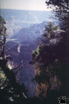 |
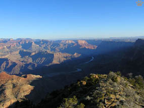
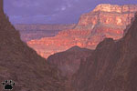
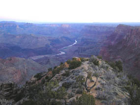
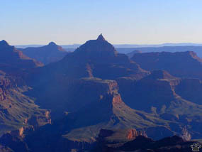
| Views of Grand Canyon from North Rim. |
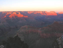
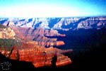
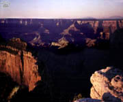
Sunrise, Grand Canyon. |
You have to stay at least from dusk till dawn
on each rim to fully appreciate the change of light and color. |
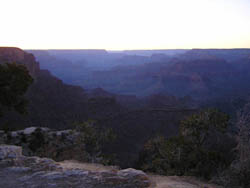
Dusk, Grand Canyon. |
 |
 |
| Desert View at the eastern end of
South Rim area is my personal favorite among the 30 lookouts in the National Park. |
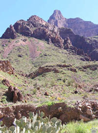
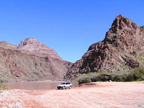
At the bottom of the Grand Canyon. |
Usually, people willing to see the Canyon from
the bottom up undertake a grueling hike from one of the rims to the Phantom Ranch
below. It takes at least two days to complete, and is considered so difficult
that many tourists hire mules to carry their backpacks. Why would anybody need
a heavy backpack for a two-day hike to the warm canyon bottom, I don't know. |
At the bottom of the Grand Canyon. |
 |
 |
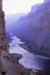
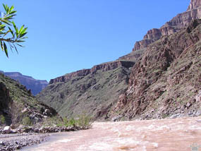
| Colorado River at the bottom of
the Grand Canyon. |
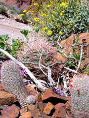
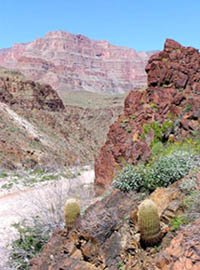
Cacti at the bottom of the Grand Canyon. |
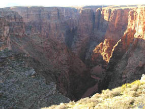
Few visitors realize that you can also drive to
the canyon bottom - there is a road in Hualapai Indian Reservation downstream
from the National park. The bottom is a hot desert with sand dunes, cacti, lizards,
and an endemic race of Western rattlesnake (Crotalus viridis abyssus).
You can also kayak or raft through the canyon. It is difficult logistically and
bureaucratically, but I hope to do it someday. |
Sand dunes at the bottom of the Canyon. |
 |
 |
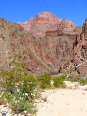
| The Grand Canyon. |
The Grand Canyon. |
Further downstream, the Colorado flows through
Lake Mead (another reservoir), then the beautiful Black Canyon, and becomes a
lowland river, completely screwed up by dams and irrigation channels. Most of
time, no water reaches the delta, formerly one of the most wildlife-rich places
in the West. |
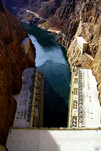
Black Canyon from Hoover Dam, Arizona/Nevada. |
Colorado River below Glen Canyon Dam, Arizona.
Part 7. Painted Desert
Back to Part 5
Home |
|