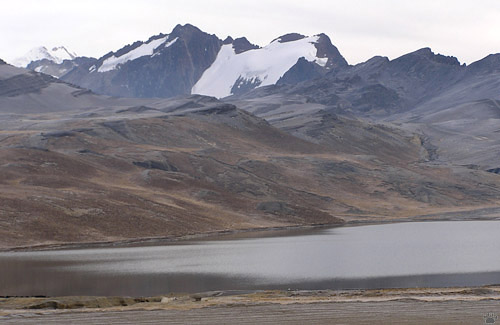
Le Cumbre Pass, Bolivia.
The Andes Part 10: The Death Road
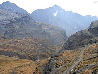
The name "Death Road" has been coined by tour operators running mountain biking tours along the highway leading from La Paz to the plains of northeastern Bolivia. It was built in the 1930-s during the Chaco War by Paraguayan prisoners. The road is not as bad as it sounds: parts of it are now paved, and only one stretch is really narrow. It has very high accident rate, but the scenery is worth the risk, especially if you make a few stops along the way. It is also the only road in Bolivia where you drive on the left, not on the right.
 |
 |
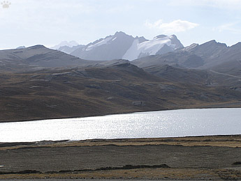
| Le Cumbre Pass, Bolivia. |
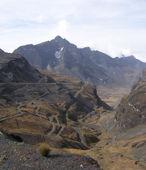
View of La Paz-Coroico Road from Le Cumbre Pass, Bolivia. |
Soon after leaving La Paz, you climb to Le Cumbre Pass (4725 m/16,410'). It is cold and windy, but good for birding, and many nice trails start from here. Then you begin the endless descent. |
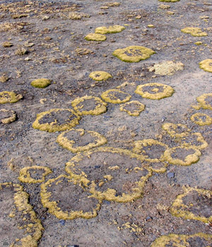
Grass, Le Cumbre Pass. |
 |
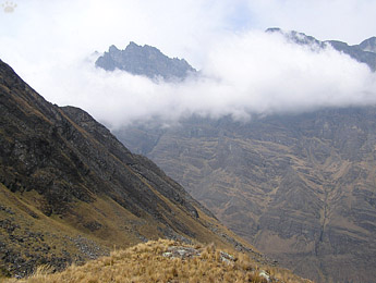 |
| Choquetanga Valley, La Paz-Coroico Rd. |
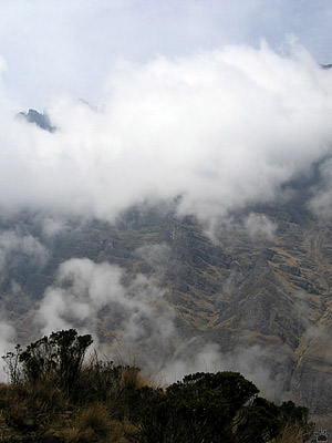
Choquetanga Valley, La Paz-Coroico Rd. |
The road then follows the border of Cotapata National Park. Hiking up the side valleys into the alpine meadows, you can find tiny patches of Polylepis trees that survived heavy cutting for firewood. |
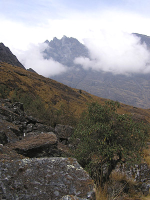
Polylepis tarapacana tree, Choquetanga Valley. |
 |
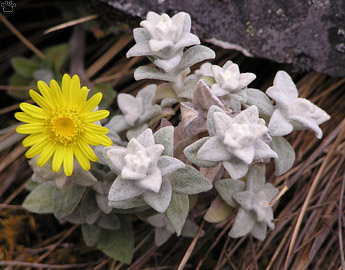 |
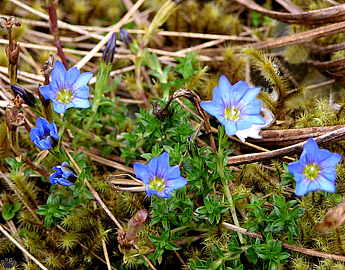
| Alpine flowers, Choquetanga Valley. |
 |
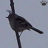 |
These tiny groves shelter some very rare birds. |
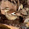 |
Many of those birds are endemic to the area. |
 |
 |
Yellow-billed (Anairetes flavirostris, left) and
ash-breasted (A. alpinus) tit-tyrants, Choquetanga. |
Bar-winged cinclodes (Cinclodes
fuscus), Choquetanga Valley. |
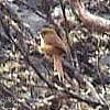
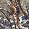
Puna (Schizoeaca helleri, left) and black-throated
(S. harterti) thistletails, Choquetanga Valley. |
 |
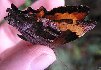 |
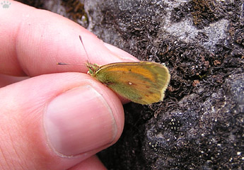
| Alpine butterflies: Colias sp. (left) and Claria sp., Choquetanga Valley. |
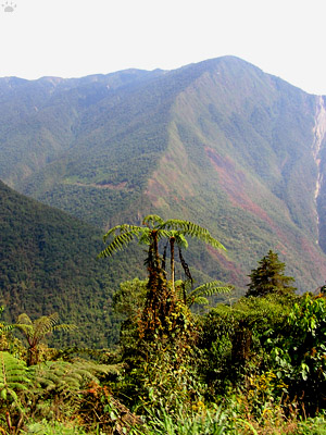
Cyathea tree fern, La Paz-Coroico Rd. |
Soon, the highway enters the cloud forest. There's no good forest left along the road itself, but plenty within a short walking distance. It's a world of mist, rain, tree ferns, epiphytes, and orchids. Even spectacled bears live in the Park. |
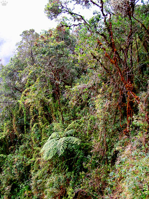
Cyathea tree fern, La Paz-Coroico Rd. |
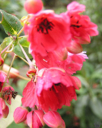 |
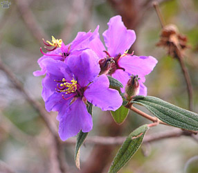 |
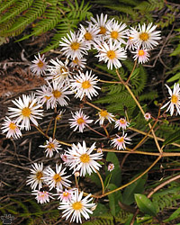 |
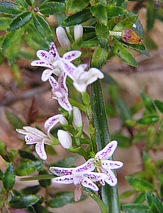
| Flowers, Cotapata National Park. |
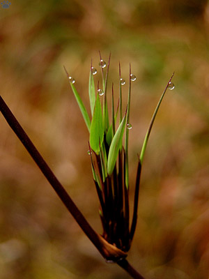
Cyathea tree fern, La Paz-Coroico Rd. |
These lush, misty, deep valleys are called yungas in Bolivia and Argentina. Very few roads cross the yungas from the Altiplano to the lowlands - that's why the "Death Road" is so important and gets so much traffic despite being slow and dangerous. |
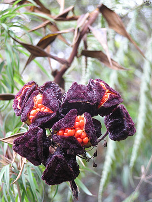
Cyathea tree fern, La Paz-Coroico Rd. |
 |
 |
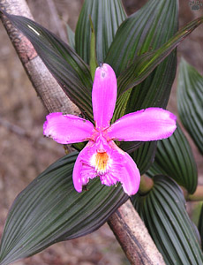 |
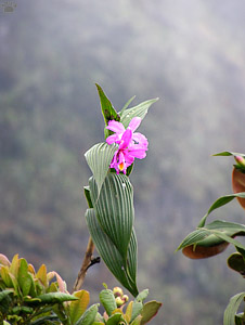
| Orchids, Cotapata National Park. |
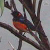
Scarlet-bellied
mountain-tanager
(Anisognathus
igniventris), Cotapata. |
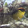
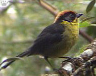
Rufous-naped
bush-finch (Atlapetes
rufinucha), Cotapata
National Park. |
Cloud forest birds are often very colorful, but difficult to see in dense vegetation. The best place to look for them is along the trails behind Cotapata petrol station, just a few kilometers before the end of pavement. One of those trails can be followed all the way down into degraded montane tropical forests below 1800m/6,000'. |
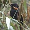
Mustached flower-
piercer (Diglossa
mystacalis), Cotapata
National Park. |
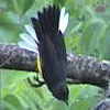
Slate-throated redstart
(Myioborus miniatus),
Cotapata National
Park. |
 |
 |
 |
 |
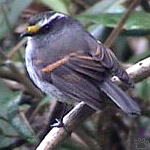
Golden-browed chat-tyrant
(Ochthoeca pulchella), Cotapata. |
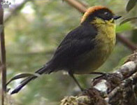
Rufous-naped bush-finch, Cotapata National Park. |
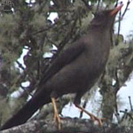
Slaty thrush (Turdus nigriceps),
Cotapata National Park. |
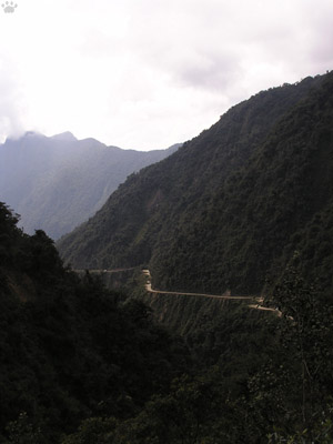
La Paz-Coroico Rd. |
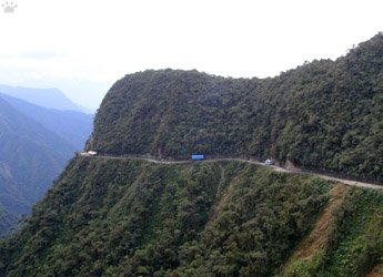
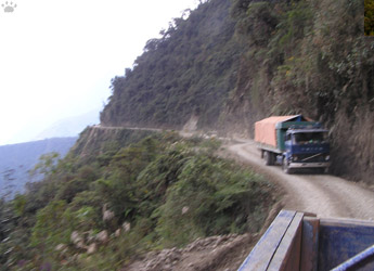
As soon as the pavement ends, the dangerous part of the road begins. It is so narrow that trucks and buses can pass each other only in a few places, and hairpin turns can be very difficult for long vehicles. |
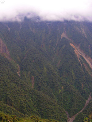
La Paz-Coroico Rd. (note the bridge just below the clouds). |
 |
 |
| La Paz-Coroico Rd. |
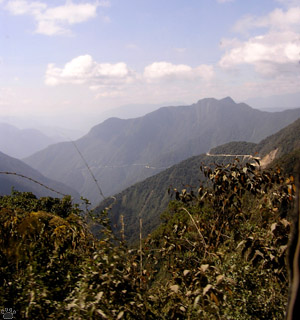
La Paz-Coroico Rd. |
200-300 people die in rockslides and accidents every year. Local drivers often make a sacrifice to Pachamama, the Mother Goddess, before going through that part, especially at night. |
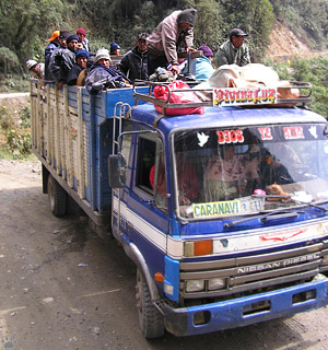
La Paz-Coroico Rd. (note the bridge just below the clouds). |
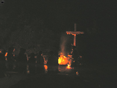
Drivers making a sacrifice to Pachamama, La Paz-Coroico Rd. |
Part 11. The Death Road (continued)
Back to Part 9
Home |